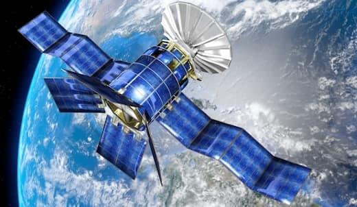
Satellite imagery refers to a photograph of the Earth or other planets taken from a satellite orbiting around it. Satellites capture these images using remote sensing instruments, which can detect various wavelengths of light emitted or reflected by the planet's surface. The collected data is then transmitted to ground stations […]


