Posts tagged with: Image

Application to view satellite image

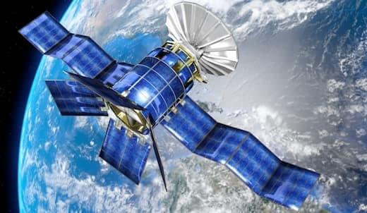
Satellite image viewing apps are a valuable source of information for a variety of applications, including weather forecasting, environmental monitoring, and urban planning. With the advancement of technology, accessing and viewing satellite imagery has become easier than ever. There are several applications available that allow users to view and analyze satellite imagery.

Satellite Image Viewer App

A Satellite Viewer app is a tool that allows users to view high-resolution images of the Earth’s surface captured by satellites orbiting the planet. These apps are popular among scientists, geographers, and environmentalists who use them to study and monitor changes in land cover, weather patterns, and disasters […]

See satellite image

Satellite imagery refers to a photograph of the Earth or other planets taken from a satellite orbiting around it. Satellites capture these images using remote sensing instruments, which can detect various wavelengths of light emitted or reflected by the planet's surface. The collected data is then transmitted to ground stations […]